Tramkazan Falls | WI4+/5 | First Ascent | Ice Climbing in Kashmir

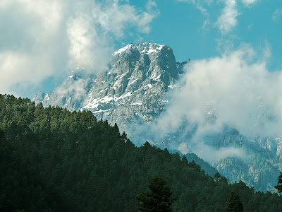
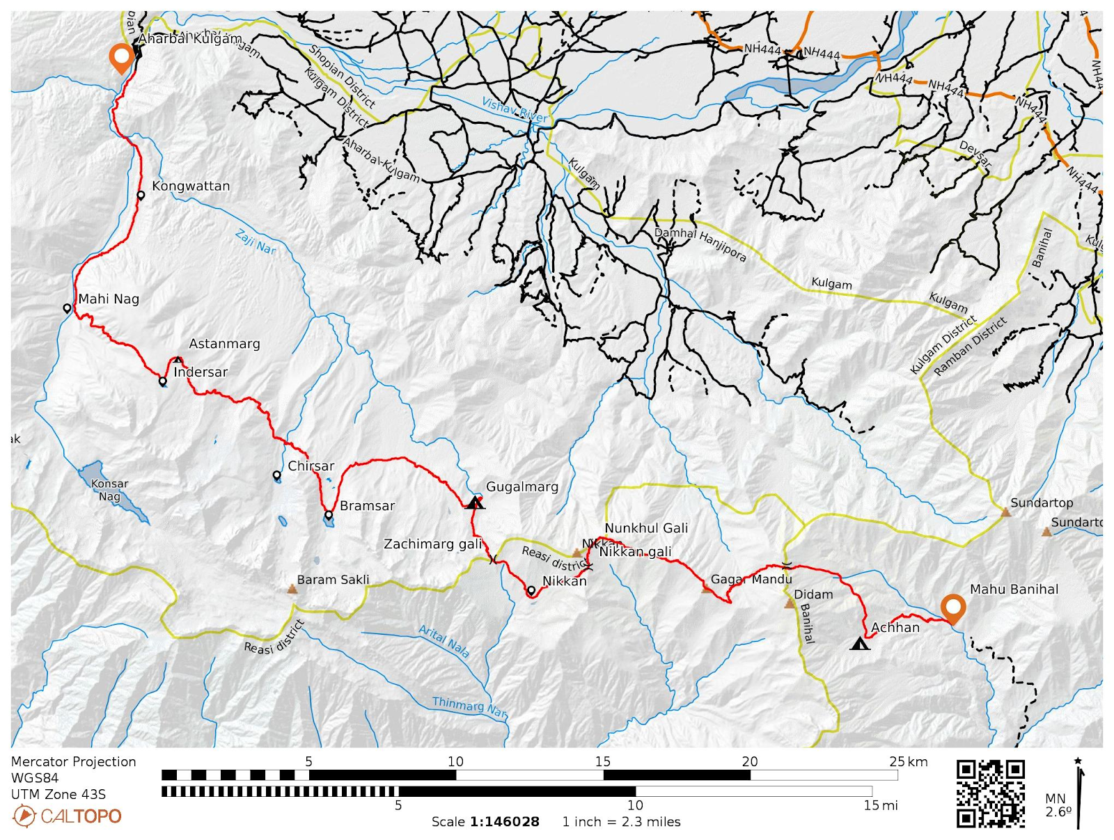
After a Decade of Attempts Since 2015, Tramkazan Falls, Pahalgam, Finally Sees First Ascent Zeeshan leading the second pitch, WI5, with Enrico on belay. Photo by Waleed Ice climbing, a thrilling and challenging sport, was at its peak season globally, and I was inspired to explore its potential in my homeland, Kashmir, a region where the sport is currently uncommon. My research revealed a brief period of ice climbing activity in Kashmir, from 2015 to 2018, centered around a specific location in Pahalgam, beyond the village of Phraslun. These multi-day events, organized by JK Tourism and JKMHC, with equipment provided by either JK Tourism or JIM&WS, unfortunately ceased after 2018. My passion for climbing and mapping, combined with my desire to revive ice climbing in Kashmir, led me on a quest to rediscover the location of these past climbs. Through a detailed map study, I identified the stream as Tramkazan nar, a 45-minute hike from the road, situated on the opposite side of ...