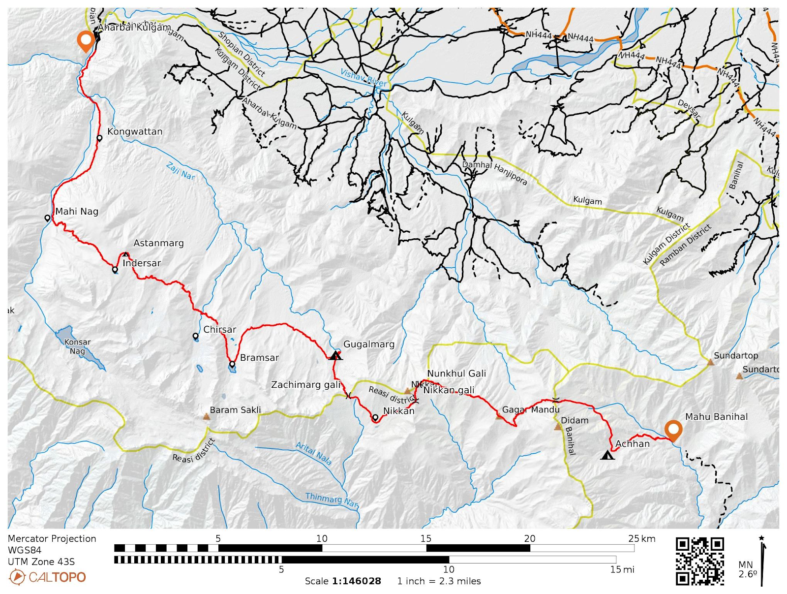
Unquestionably one of Kashmir's finest peaks is KOLAHOI, which lies above the West Liddar Valley. The lower levels are shielded by steep, severely crevassed glaciers, while the massive pyramidal summit, which dominates the nearby heights, rises suddenly out of an enormous plateau of surrounding ice. As viewed from SW, it appears almost the shape of a sugar loaf. From the east or west, the shape is that of a pyramid, two or three sides of which are well seen from the North.
 |
| Kolahoi from the Barfsar lake (Sept 2021 by Zeeshan Mushtaq) |
1899-Major C. G. Bruce on his way from Suru valley to Warwan from Bhot Khol pass and eventually arriving to Pahalgam writes, "Our intention on arrival at Pahlgam was to arrange for a trip to Kolahoi or Gwashbrari, a very beautiful peak and beautifully situated. In fact, the whole valley of the Lidder and its branches is most striking — typical Kashmir mountain scenery and fine specimens of forests. Near Pahlgam itself there is nowadays a regular summer settlement.Our plans were very soon upset, however, for I found a telegram awaiting me, telling me to go to Darjeeling for recruiting duty, and to be there as early as possible in October."1900-Dr. E. Neve began to explore the Kolahoi group with the goal of reaching the highest peak in the Kashmir region (5425m). Neve, accompanied by C.E. Barton and 12 porters, reached about 4330m in adverse snow conditions before being forced to retreat.
Neve attempted three further efforts to reach the summit of Mt. Kolahoi between 1901 and 1910.
1901- There was significantly less snow, and Neve and team were able to pitch their final camp 6 miles nearer to the mountain, at the foot of the grassy moraine slope that banks up the northern end of Harnag Lake. Both in 1900 and 1901 the party consisted of the late Rev. C. E. Barton, Neve, and twelve porters
 |
The last Hundred yards from the Arete( Beyond Pir Panjal)
|
1903- Neve with Dr. Henry Holland attempted but fell few hundred feet short of summit. They climbed as far as the second of the vertical snow streaks visible on the N.E. side of the peak just below the top. Precarious snow cornices and rocky gendarmes prevented their complete success. The final ascent on that occasion was done from a shelter tent placed on the large snowfield at a height of 15,000 ft. The Base camp was at a point 3000 ft. lower on the S.E. side of the mountain, near the partly frozen lake Har Nag.
1910- Neve, Lt. Mason, and Prof. Dunn of Govt. College Allahabad, along with sixteen porters carrying small loads and two Kashmiri mountaineers (Abdullah and Ahmdu), one of them, Abdullah, had previously climbed with Neve and accompanied the Duke of Abruzzi's expedition in 1909. They were succeeded in climbing the arete and ascending the eastern color. Dr. Neve mentions it:
"The weather, which had been very uncertain and changeable, added to our difficulties, for we were repeatedly enveloped in clouds, and snow fell at intervals. Brief glimpses of the summit could be obtained every now and then through the driving mist. It appeared as a white snow-cap, corniced on the north side and also on the east, to the left of the point where the arete joined it, and sloping down somewhat to the south. It seemed to be about 200 yards away and 300 feet higher than the point on which we stood. Through rifts in the scudding clouds we caught occasional glimpses of the depths beneath, the seracs on the north-east glacier, with below them the source of the Lidar River, where I camped last year. The Harbagwan Peaks and tops of all the mountains around were shrouded in mist. The clouds were rapidly piling up. Abdullah and Ahmdu behaved admirably. With the exception of a low whistle from one of them on catching sight of the arete edge, neither betrayed any sign of fear. If I had decided to try to push on, I think they would have obeyed. It was now 12.30. The weather was rapidly getting worse. So I gave the order to retreat."
 |
| The highest point reached in 1910 by Dr. Neve |
1911- Almost near the summit.
Capt. J.B. Corry, R E, Lt. R. D. Squires, and a Kashmiri mountaineer Ahmdu ascended the main peak from the east to within 30 feet of the summit. They ascended the rib on that side of the gully, following Neve's route until they arrived on the E. arete, first on the N. side and then traversing the snow to the S. side of the couloir which rests against the eastern arete. They went close below this, navigating back when they went too low, traversing the snow-covered area below the huge vertical gendarme until they reached the ridge again. They came across an uncomfortable gendarme around 100 feet from the summit, which caused difficulties. The rest was quite straightforward until they reached the final snow portion, which was highly corniced and in poor condition, with an avalanche risk. The peak got covered in cloud, forcing them to abandon their ascent while being just around 30 feet from the summit.
1912- First ascent of Kolahoi by Dr Ernest Neve, Lt. Kenneth Mason, Ahmdu and Abdullah.
 |
Kolahoi from the east ( Photo Kenneth Mason 1912 | HJ)
|
Following the Armium nar, over the Harnag pass, and arriving at the ice field south of Kolahoi from the east, camp was set up at an elevation of above 15300 ft. The final ascent was carried out the next day, June 28th, via an eastern couloir and reaching the eastern arete. The party arrived at the peak around 2 p.m., and Neve wrote,
" The last 60 ft. was
on snow. About 40 ft. from the top there is what looks like
a fractured column of basalt, with, close to it, a small outcrop of rock with Captain Corry's little heap of stones. To the
left, at the foot of the last slope, there are also a few rocks.
The summit itself is snowcapped and heavily corniced to the
N. and W. and less so to the East"
Ahmdu had accompanied Captain Corry last year when he and Lieutenant Squires so nearly reached the top.
1926- Second Ascent of Kolahoi
Mr. C. R. Cooke and Lieutenant B. W. Battye did the second ascent of Kolahoi, following a path similar to Dr. Neve's. They camped near point 15,314, but their first attempt was up a long rib of steep but easy rock at the south face's eastern end. They came to halt at the 'Castle,' a massive slab of rock on the crest of the east ridge at about 16,200 feet, but managed to turn it and regain the eastern arete. Instead of camping at this height, as Dr. Neve's party did, they descended by 'Neve's Couloir' and, presumably on the next day, 10th July 1926, made a second attempt; this time ascending to the east ridge via Neve's Couloir. They left camp at 6 a.m. and reached the summit at 1.30 p.m.
 |
| Kolahoi Routes 1912 & 1935( John Hunt | HJ) |
1935- Kolahoi by the South Face| New route by John Hunt (HJ 16)
Lieutenant, now Colonel, John Hunt and Flight-Lieutenant Rowland Brotherhood, R.A.F., who had both recently returned from Peak 36 in the Karakoram and were uninformed of the circumstances of Dr. Neve's climb, undertook a new ascent of Kolahoi in 1935. Instead of using the Har Nag route to the glacier, they headed north at Armiun, climbing steep grass slopes and snow beds to the summit of 'Roof Peak' (as named by Dr. Neve).
They climbed up the west border of the Musa Sab-in Qabr glacier till they arrived at a col between Buttress Peak and Bur Dalau at 10.45 a.m. A mile's walk across the glacier south of Kolahoi led them to the peak's base, and despite the fact that the previous path to the summit was unknown at the time, they opted to attempt a climb via the east ridge. They chose a prominent rib well to the west of Neve's couloir, rather than it. This rib runs all the way to the summit and forms the western side of the greatest snow couloir on the south face.
 |
| Descending by the east ridge, Kolahoi ( John Hunt | HJ 08) |
They started climbing unroped up pretty precipitous rock, which got easier as they got higher, but after some difficulties around 1,000 feet above the glacier, they decided to rope up. A horizontal strip of snow cuts across the rib from the south-west ridge and joins the huge couloir further up. Hunt and Brotherhood were able to negotiate the snow-band and reclaim the main rib after a brief traverse. Soon later, the climbers reached the steep snow slope below the summit and, kicking steps in the snow, joined the east arete at the point where it disappears into the ice-cap.
 |
Kolahui (17,799 ft.)
Route followed was across face of smaller peak
to intervening col and thence starting up face.
The cord held by coolies is not climbing rope(HJ 16) |
The ascent from the glacier had taken only 2 ½ hours—evidence of the party's fitness and state of training after the Karakoram climb. Unfortunately they were denied the wonderful vista afforded Dr. Neve's party, as huge monsoon clouds had been piling up during the ascent, and now completely obscured the panorama. (HJ 16)1936-First ascent by a female
Kolahoi was first climbed in August by a female climber, Miss M. V. Sanderson, who followed Hunt and Brotherhood's spectacular couloir route with the shikari Aziza. (HJ 16)
1937- Miss M. V. Sanderson returned to Kolahoi, this time with Lt. James Waller, who had made the first ascent of the Thajiwas peak that year. The author of this blog climbed the Thajiwas summit in July 2023, after its last ascent in 1945, making it the peak's third ascent.
They moved in from the north and camped on the north-east ice-fall of the Kolahoi massif. They considered ascending via the 5,000-foot-high great north ridge, but after further thought, they negotiated their way around to the south face and climbed the peak via the more common east ridge. They, too, faced and navigated the daunting 'Castle,' eventually returning to the ridge at the point where it meets Neve's Couloir and reaching the summit at 3.15 p.m., eight hours after setting out. They descended by the huge couloir, the western edge of which Hunt and Brotherhood used for their ascent but thought too difficult for a descent in 1935.
Despite the fact that the snow was uncomfortably icy in spots, Waller stated that climbing down the center of the huge couloir looked far easier and shorter than the usual descent via the eastern arete and Neve's or some other minor couloir. (HJ 16)
1945-Solo Ascent by an American
 |
| On the south face of Kolahoi (John Hunt | HJ 08 ) |
On 26th June, R. D. Leakey left Sonamarg and crossed the Sarbal pass, camping in the West Liddar valley just below the snout of the Kolahoi glacier. On the 29th he bivouacked at the base of a small peak about a mile east-north-east of the foot of the east ridge. It snowed about 6 inches during the night, rendering the bivouac uncomfortable and the climb next day awkward. He started climbing the east ridge of the mountain at 6.30 a.m. and reached the summit at 4 or 5 p.m, taking ten hours. He returned by moonlight along the same route.
This ascent drew unfavorable attention from the Statesman of Delhi. One of the accounts that arose in connection with an ascent by members of the Punjab Mountaineering Club in early September is as follows: Sgt. R. D. Leakey of the US Army Air Corps made the lone ascent of Kolahoi peak (18,000 feet) this year and planted a packet of chewing gum on the summit. On June 27, around 4.30 p.m., he reached peak. These details were provided in a note he placed with the chewing gum packet.
The letter says: 'Whosoever finds this please send it to the Himalayan Club as evidence that Robert D. Leakey made a lone ascent of this peak by the east ridge and hopes to return that way.’ According to members of the Indian party which followed Leakey a few weeks later, the American's solitary conquest of the peak after a most hazardous climb was an amazing feat. (HJ 13)
1945- During the month of August, thirty students from the Punjab Mountaineering Club, led by W. Cowley, attempted the summit. For six days, they had set up camp in the West Liddar valley, roughly a mile below the snout of the Kolahoi glacier. Two days were spent reconnoitering, and on the third day, a good advance camp site on the prominent rocky island splitting the glacier south-west of Hiur Bhagwan was discovered. The peak itself was reconnoitered to a height of 17,000 feet on the fourth day, then climbed on the fifth by a party led by H. A. Hamid Khan. They left the glacier around 9.30 a.m. and arrived at the peak at 1.30 p.m.
 |
| Kolahoi (right) and Harbhagwan. (J. A. Jackson) | HJ |
1952- Following the British Garhwal Expedition David Bryson and Jack Johnson made the ascent of Kolahoi by the Neve's route. However, quite early in the planning John decided that the modern approach of circumnavigating the rock island to the east of the north glacier and setting up two camps would be preferable for this party.
 |
| Seracs of north glacier. Kolahoi summit beyond. (J. A. Jackson) | HJ |
1968- Major Ramdas (Army team)
Kolahoi (17,799 ft) was climbed by an army team led by Major Ramdas.
The summit was attained at JPm on 25 July by Major M. S. Oberoi, Havildars
Gurucharan Singh, Mahinder Singh and Kuaram. AJ, 1969,, p.226
1971- Japanese team
Masato OKI ( Reference 報告書、カシミールからスワートへ、名城大学
山岳部 ,1971)
1977 - Schoolboys on Kolahoi, Ampleforth College
Richard Gilbert leading a party of 13 people from Ampleforth College in Yorkshire. AJ 1978
1987- Glenalmond
College, Scotland, in Kashmir in I987 For a detailed account about this, read Alpine Journal 1990, Schoolboys on Kolahoi
1988
Firdous Khan, the first Kashmiri Ski-Mountaineer to climb Mount Kolahoi on 29th April 1988. The successful Swiss-Kashmir Ski-Mountaineering Expedition to Lidder Valley was organised by the J&K Ski & Mountaineering Association with the support of Highland Excursions (I) Pvt. Ltd. It was 2nd successful attempt of Kolahoi after Kashmir-Austria expedition in the same month.
Swiss-Kashmir Ski-Mountaineering Team that scaled Mount Kolahoi on 29th April, 1988. The summiteers included Firdous Khan (Kashmiri Ski-climber and member of J&K Ski & Mountaineering Association), two Swiss lady Ski Instructors, Miss Franzi, Miss Michi and three other male skiers, Rudi, Bright, Marc of Pontresina Ski School, Switzerland (Text and Pictures taken from Muhammad Yusuf's Facebook profile)
I have made every effort to gather the history of Kolahoi Peak's ascent. This specific blog will only cover ascents till the year 2000. As far as I'm aware, based on my research, this is Kolahoi's finest ascent record. In the meanwhile, if any ascent is missing, please get in touch with me.
I have gathered the photos from many sources, and they are the property of their respective owners.


Zeeshan Mushtaq is our future boy for the trekking, hiking and climbing sports from Kashmir. He is getting technically efficient and practically endured day by day.
ReplyDeleteVery informative 👍
ReplyDeletePlease note that R D Leakey, the "American” who ascended Kolahoi in 1945 was in fact the British mountaineer and caver, Robert (Bob) Dove Leakey. He also made two attempts to climb Bandarpunch in 1942 and 1946 (all three climbs reported in the Himalayan Journal).
ReplyDeleteRef: https://en.wikipedia.org/wiki/Bob_Leakey.
Ref: CRAVEN, Stephen A. (2016). The Himalayan career of Robert Dove Leakey (1914–2013). Cave and Karst Science 43(2), (pp75-78).