Sunset Peak
Sunset peak / Romesh Thong (4730m)
Sunset Peak, so named because it is the last of the tops to catch the rays of the setting sun.It is the second highest summit of Pir Panjal range encompassing Kashmir valley. This peak has a saddle-back, and has been several times ascended by Dr Arthur Neve, Dr Ernest Neve and various friends. The ascent, which is not difficult, lies for the last three hours up a snow slope, which gradually increases in steepness and culminates in a rocky arete, the southern face of which, and of the peak itself, drops as a sheer precipice for some hundreds of feet. On the summit pieces of smooth rock with vitreous fracture can be found, showing bubbles and other traces of igneous action. Beyond the Pir Panjal by E. Neve

10-11 July 2021
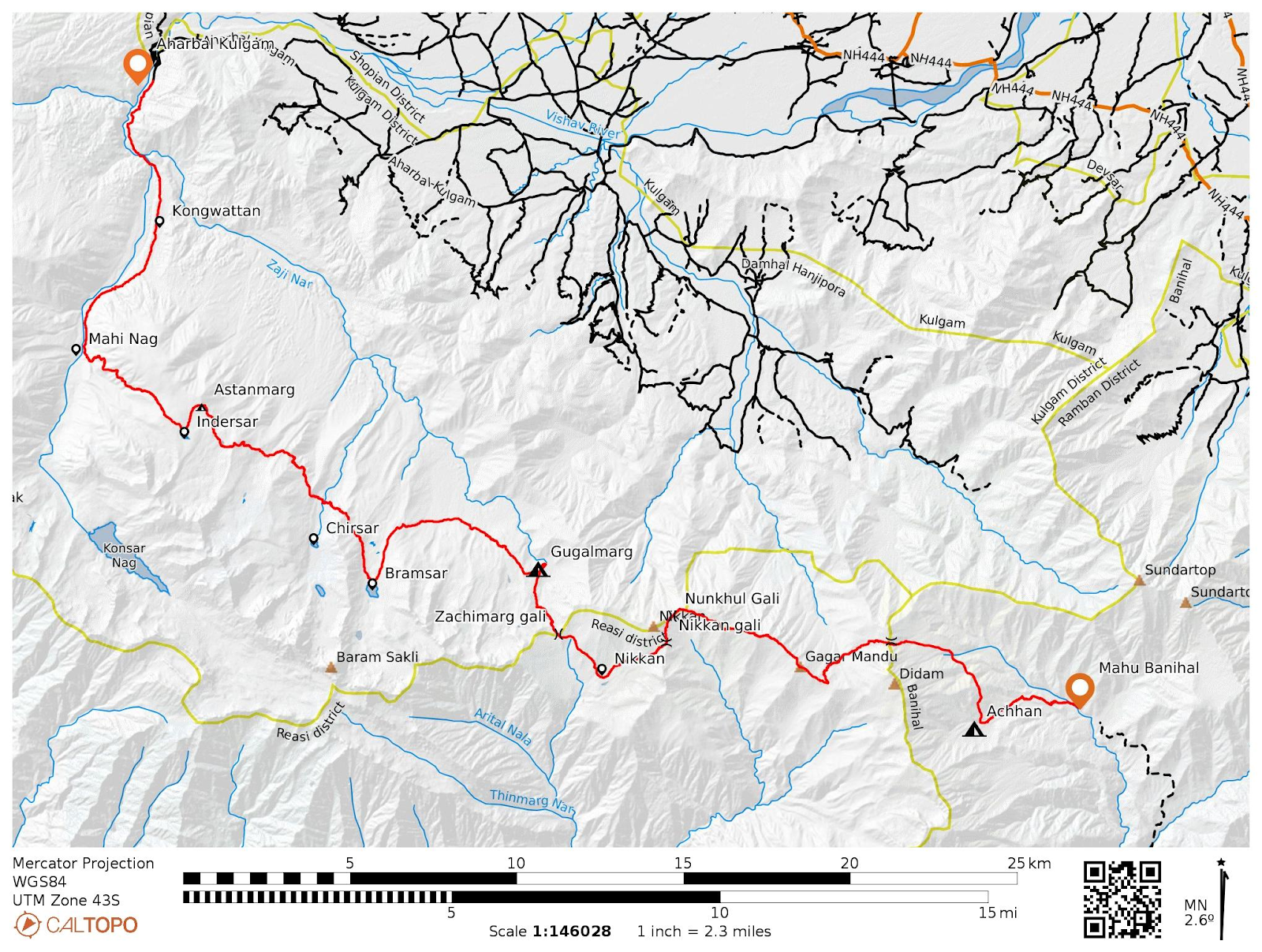
We (Alpine Adventurers) planned an expedition to scale the Sunset peak and successfully summitted it on 11th of July 2021 at 10:30am in the morning. It was the first ever expedition to this peak which started from Yusmarg Budgam and ended at Zaznar Mughal road via Naba Pir pass. The peak was first summited by Ernest Neve in 1901, Dr Ashraf in 1970 , then by our team led by Adil Shah in 2017 nearly after three decades. This was my teams second expedition to this peak and we dedicated our success to our brothers Late Adil Shah and Naveed Jeelani who lost their lives while descending from Mt Kolahoi in 2018.

On 10th of July, we started our expedition from Yusmarg, a tourist destination in Budgam district. We packed our tents, food items and other things and loaded them on ponies. The trail is well defined and pretty much wide with marks of vehicle tyres which carry the dead wood from forests. After 40 min of gradual hike through the forest, we reached to Dargahdolan, a small grassy meadow on lower slopes of Pansal range. Continuing further through the forest, suddenly a heavy downpour started which set us back by 20min as we have to look for the cover. Luckily we were in the forest and took a shelter under a tree.

The trail further goes to Barga Maidan, Gagar Rayil, Dain Zeb etc, These are the upland pastures above the tree line with some nomadic dwellings. From Gagar Rayil, we followed the course of the Ramshi stream which originates from the Ramshi glacier, just below the Sunset peak/ Romesh Thong. After covering a distance of 22kms, we pitched out tents near the base of Katsgalu pass.


At about 10:30am, we were on the summit 4730m. We climbed via the eastern arete from the col below Chhata pani ko nezo (nezo=peak). The descent from the peak was made via the same east arete upto the small glacial lake fed by the Ramshi glacier.
 Enroute to summit
 Eastern summit ridge of sunset peak
The lake lies at the snout of the glacier and to the east of it is Naba Pir Pass, from where we descended down to Mughal road by following the course of Zaznar stream. The descent is very much steep almost 1200m elevation drop in some 6/7 kms.

The overall difficulity is moderate. It is not a technical peak but a trekkable peak. The easiest possible route is via the East arete from col to the summit.
Starting Point: Yousmarg
Ending Point: Zaznar Mughal Road
Highest recorded altitude: 4730m
Total distance: 39kms
Best time: July - Sept
Team Members: Arshid Majid, Taous Baba, Owais Shamsi, Tariq Zargar, Muhammad Zahid, Javaid sahb, Musaib Ayoub, Salik Abbas, Ishfaq Aziz, Adil, Ishfaq, Ahmad Adil, Junaid Hussain, Kaisaer Jameel, Hilal Wani and myself.


Comments
Post a Comment