Hirpora Lakes trek | Day1: Dungimarg Mughal Road to Handu Sar.
05 Aug 2022 | Pir Panjal Range

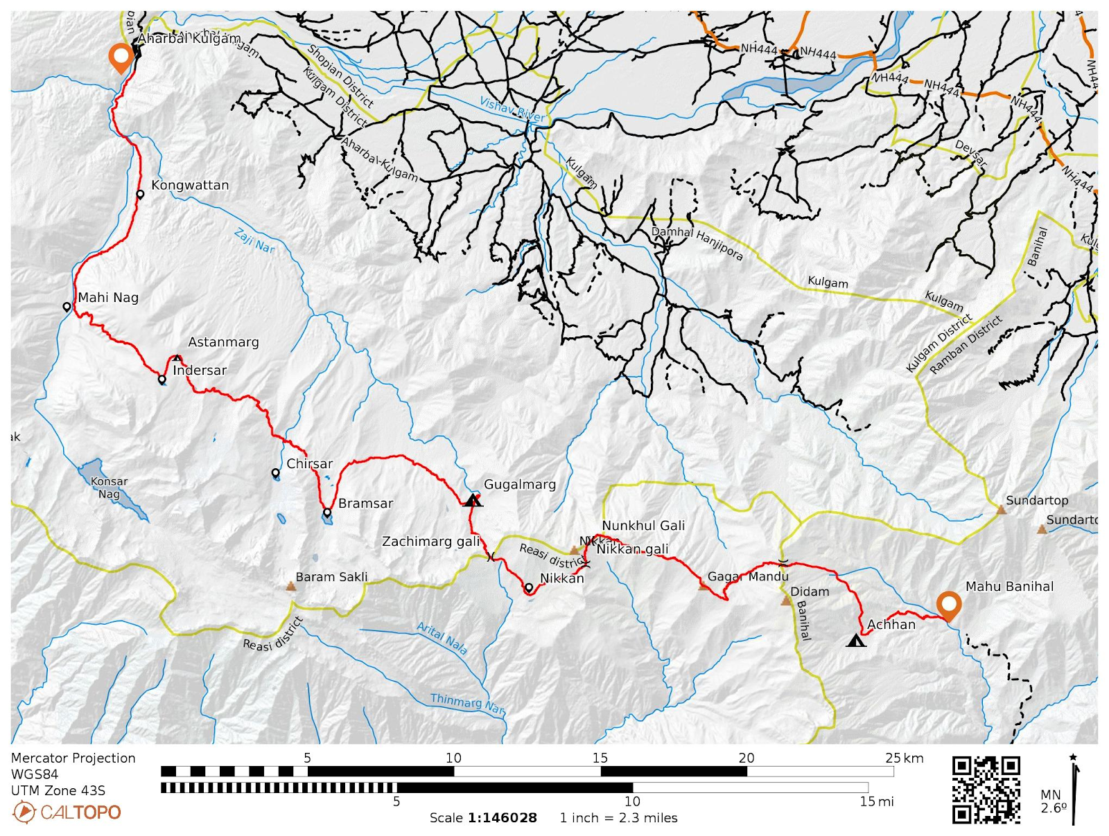
Topo sheet along with route and terrain details
Far towards the South western end of the valley, around Pir Ki gali,
there are dozens of alpine lakes within 3-4 km of radius. Some of them fall
in Kulgam district and some in Poonch and Rajouri districts of Jammu
& Kashmir and accordingly there are many routes from these districts to
explore all of them. I started my journey from Kashmir division and minimum of three days is required to
explore the whole area.

Jaddi nar valley
On 5th of Aug 2022, I with my friend Muhammad Zahid left from Srinagar
towards Dongimarg, Mughal road, some kms before from Pir ki Gali and parked
our car near the wildlife dept. At around 8am in the morning we left from
Dungimarg, crossed the Yanga nar stream which at Sokh Sarai is joined by
Rupri Nar and forms the Rambiara river, a tributary of Jehlum
river.

Chandan Sar
The trail up to the Chandan Sar goes through a 10km long Jaddi river
valley. It is surrounded by many side valleys east of stream and at the end
of these side valleys, a pass connects them to Rupri nar valley.
The trail has a gradual gradient up to Chandan Sar but crosses the
stream two three times. The area being above tree line, there are no bridges
over the streams except at one place.
Chandan Sar lies at around 3900m asl and the area is also quite large.

Lakshukh Sar

Handu sar
We then moved SE towards Lakshukh and Handu Sar, crossing an unnamed 4100m pass. We pitched our tent near the nomads at Handu sar and far away from the camp, we explored Barnai sar and Sona Sar and returned back to campsite at around 7:30pm.


Sona Sar

Barnai Sar

Comments
Post a Comment